This is Why You Will
Love Franko Maps
Franko Maps is a renowned cartographic company specializing in the creation and distribution of high-quality underwater and outdoor recreational maps. Established by Frank Nielsen, the company has become a trusted name among divers, snorkelers, hikers, and outdoor enthusiasts.
Franko Maps was founded with a mission to provide accurate and visually appealing maps that cater to the needs of individuals exploring the world beneath the surface of the water or venturing into the great outdoors. The company's maps are meticulously researched, designed, and produced to offer valuable information and enhance the overall experience of its users.
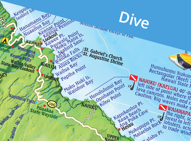
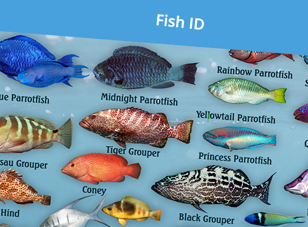
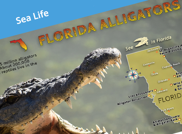
One of the notable features of Franko Maps is their detailed underwater maps. These maps are created with a deep understanding of marine environments, including coral reefs, dive sites, wrecks, and marine life habitats. The intricate details and vibrant illustrations on the maps provide divers and snorkelers with essential information, such as underwater topography, depths, points of interest, and safety guidelines.
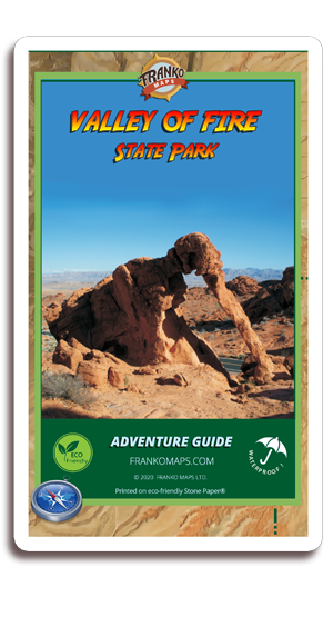
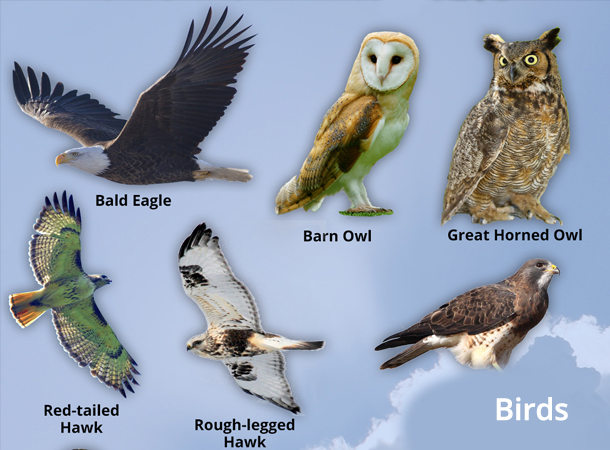
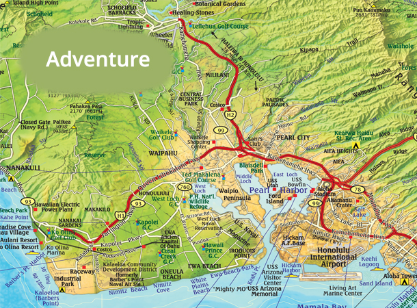
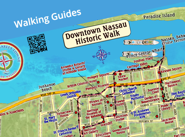
In addition to underwater maps, Franko Maps also offers a wide range of outdoor recreational maps, covering popular hiking trails, national parks, state parks, and other natural landmarks. These maps provide hikers, campers, and outdoor enthusiasts with crucial information about trail routes, landmarks, camping areas, and points of interest, facilitating safe and enjoyable adventures in nature.
The quality and accuracy of Franko Maps have made them highly sought after by professionals and enthusiasts alike. The company's commitment to excellence is evident in its use of advanced cartographic techniques, comprehensive data gathering, and continuous updates to ensure the maps reflect the latest information available.
Beyond producing maps, Franko Maps actively supports environmental conservation efforts. The company recognizes the importance of preserving natural ecosystems and educates users through its maps about the significance of environmental stewardship and responsible outdoor practices. By raising awareness and promoting sustainable outdoor activities, Franko Maps aims to inspire individuals to become advocates for the protection of our planet's natural resources.
With their dedication to accuracy, visual appeal, and environmental conservation, Franko Maps has established itself as a trusted and respected brand in the world of underwater and outdoor recreational mapping. Their maps not only serve as valuable tools for navigation and exploration but also contribute to a deeper appreciation and understanding of the natural world.
Whether diving into the depths of the ocean or venturing into the wilderness, adventurers rely on the expertise and reliability of Franko Maps to enhance their experiences and connect with the wonders of nature. Through their innovative and informative cartographic creations, Franko Maps continues to empower and inspire individuals to explore, protect, and cherish the world around us.
- Most Products are Water Proof
- Printed in North America
- Adventurer Approved Maps and Fish ID
Purchase Now!